- 22.03.2019
- News:, advice, Blog, collaboration, landscape, news
BIM, Revit and Landscape – A Guide for the Perplexed
At Anna French Associates, we have worked on a number of projects now where BIM (Building Information Modelling – Level 2 compliance) has been a design requirement. We have learnt a lot along the way.
Autocad Revit is a popular BIM platform for design and documentation favoured by many Architects and Design Teams for building information modelling workflows. Landscape Architects are starting to use this platform, however it does not always flow easily for landscape architecture, so here are some pointers for those who may be feeling slightly perplexed:
1. Modelling in Revit is a world away from how an electronic drawing is traditionally set up – there are no layers and all the objects are generally classified into families. Each family is graphically identified as 3D and 2D, so will visually differ depending on how the model is viewed and the settings of the visual styles and details. The objects also have information attached as ‘parameters’. This can include dimensions, materials, weight, appearance etc.
2. For landscape architects the information scheduling is a familiar aspect as we’ve been using this with our planting plans for decades. However this concept is extended so that every object type can be scheduled from one drawing.
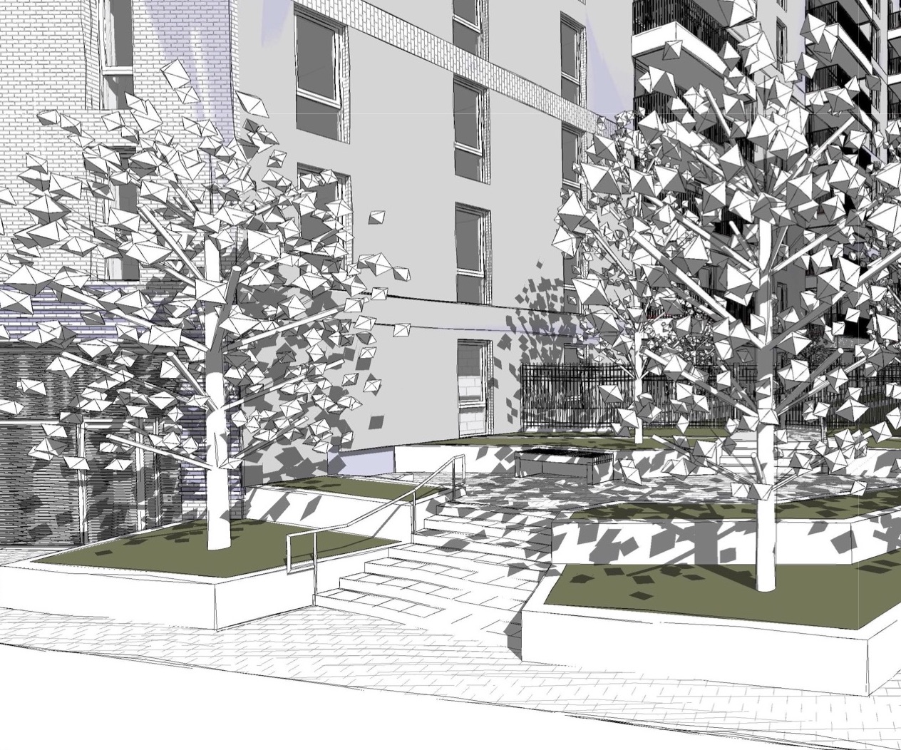
3. Plug-ins, such as Artisan, can help with the modelling of landscape elements. These provide planting symbols and data for planting plans, which can then become part of the Revit model. Civils 3D is an engineering package which also has ground modelling capability and is often used by Engineers to import information into Revit. Other plug-ins such as Calibra can enable a group of objects to be tested for particular properties, ie checking surface gradients within a scheme to ensure they comply with Building Regulations.
4. Unfortunately Revit Lt is ineffective for landscape architects as it lacks the ability to modify surface landforms by level, which is fundamental to what we do. So the cost of the software is high for your average landscape practice.
5. Importing and exporting correctly to an IFC format is key to enabling others without Revit software to access the model once it is completed (or during the process). Models can then be viewed easily using free viewers such as Navisworks Freedom. Fortunately, exporting to this format is very easy; and as IFC is an industry standard, many other consultants using specialist BIM platforms, will also easily export to IFC.
6. The utility of the finished model depends on who is using it and why, so it’s important to clearly establish the required graphical and information outputs. For example, does the developer want a realistic model for their client’s approval, or is the priority for the correct information to be scheduled out to clarify the bill of quantities, management and maintenance plans? In many instances, evolution of the model will align the key project work stages.
7. Agreeing the model “Level of Definition” (a collective term for graphical Level of Detail and Level of Information) in advance and managing expectations through a comprehensive BIM Execution Plan is the key to a successful collaboration, whether you are new or experienced in this software and process. We are currently working on a guidance document to explain what we can do (and what we can’t do) using ‘out of the box’ Revit tools and emerging BIM landscape support software.
8. Sometimes the landscape design is not seen as high priority (until a clash occurs) so ideally issued changes should be integrated into the model on an ongoing basis. Good practice suggests a weekly submission of all the consultants’ models, which are then combined as a federated model and inspected for clash detection and discrepancies.
We are excited to be using this new technology, in particular to improve the co-ordination and communication of complex design with the whole team. Our soon to be shared BIM Guidance Document will set out our approach to producing, sharing and co-ordinating our BIM information.
#landscapearchitecture #landscapearchitect #BIM #Revit #Autodesk #Artisan #landscapedesign #architecture #engineering #technology #software #construction #development